Open-sourcing the building blocks of AI population maps
Meta's Data for Good program has released the first batch of training data and sample code used to build its AI-powered population maps. The dataset and code are now available on GitHub, and the program plans to publish additional data and code for computer vision training in the future.
The release is aimed at researchers, governments, nonprofits, and humanitarian organizations working on climate adaptation, public health, disaster response, and sustainable development. By making the underlying data available, Meta hopes other teams can generate new insights for accelerating sustainable energy delivery and climate-resilient infrastructure worldwide.
The initial dataset contains almost 10 million labels covering over 126 gigabytes of satellite imagery, with human annotations indicating whether a building is present in each imagery patch. The labels were created on satellite imagery dating from 2011 to 2020, though even older imagery remains useful for training the next generation of machine vision models, such as Meta's Segment Anything, to identify buildings across a variety of land-cover environments more accurately.
Why accurate population data matters
Reliable population estimates are taken for granted in many advanced economies, which can draw on census data, tax records, and other official sources to plan service delivery. In low- and middle-income countries, however, the situation is often different: the most recent census may be decades old, estimates between censuses are frequently inaccurate, and remote populations can be entirely absent from official records. These gaps leave uncounted communities outside the reach of critical programs.
Meta began mapping the world's population with artificial intelligence and satellite imagery in 2017. Alongside partners such as Columbia University's Center for Earth Science Information Network (CIESIN) and WorldPop at the University of Southampton, the company has openly published hundreds of high-resolution population maps and datasets. These have already supported social programs ranging from COVID-19 intervention targeting to clean water delivery. As natural resource and energy demands grow, accurate population estimates also create opportunities to improve sustainability efforts.
How the maps are built
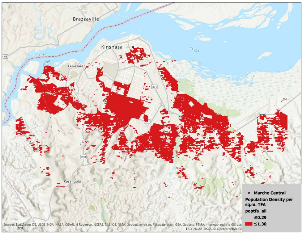
Data for Good's AI-powered population maps estimate the number of people living within 30-meter grid tiles in nearly every country. The system applies computer vision techniques—similar to those used to identify objects in photos for visually impaired users—to detect human-made structures in satellite imagery. The AI model's outputs are then combined with population stock estimates from CIESIN to approximate how many people live in each tile.
Beyond total population counts, the maps include demographic breakdowns for groups including children under five, women of reproductive age, youth, and the elderly.
Meta's population estimates have been scientifically evaluated among the most accurate in the world for mapping population distribution across various geographies and use cases. A 2022 study in Nature – Scientific Reports by researchers at the University of Southampton and University of Ghana compared population density estimates for mapping flood risk in West Africa. Other research has explored applications in landslide risk mapping and malaria eradication, with studies covering countries including Haiti, Malawi, Madagascar, Nepal, Rwanda, and Thailand.
Supporting the broader population mapping ecosystem
Open-sourcing the training data and code lets partners like CIESIN and WorldPop continue the progress made over the past decade. The tools reduce development costs for research units aiming to generate more accurate population estimates, and they give researchers working on building detection a foundation to improve their methods, particularly when combined with more recent satellite imagery. Future data releases from CIESIN and collaborations such as GRID3 are expected to push spatial resolution and accuracy further, supported by work with many African countries to generate, validate, and use core spatial datasets for sustainable development.
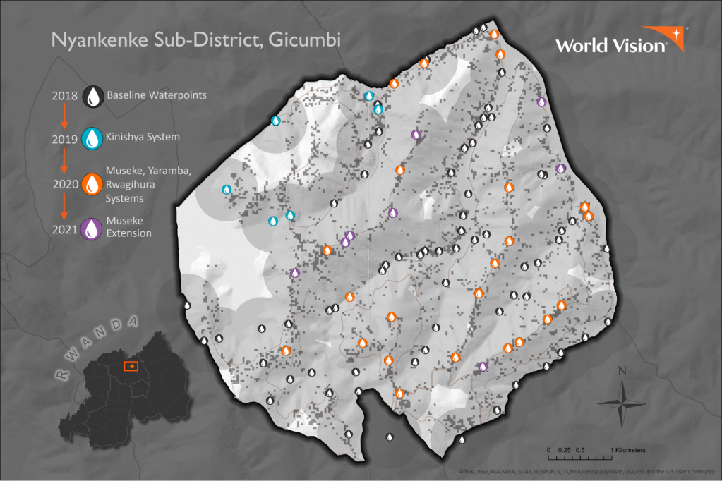
To better visualize village settlement locations and calculate service coverage, World Vision turned to an innovative dataset developed by Meta's Data for Good (D4G) and Columbia University's Center for International Earth Science Information Network (CIESIN). The resulting High Resolution Settlement Layer (HRSL) has been a game-changer for visualizing the geography of clean water.
—Allen Hollenbach, Technical Director for World Vision Water and Sanitation
Real-world applications
Nonprofit organizations and governments have already used Meta's AI-powered population maps in a range of social impact programs. The World Bank has applied them to rural electrification efforts in Somalia and Benin, and the World Resources Institute has used similar data for expansion projects in Uganda. World Vision has leveraged these datasets to accelerate five-year water and sanitation plans in places like Rwanda and Zambia, recently announcing that it reached one million additional Rwandans with clean water using insights from the maps to track progress toward universal coverage.
Continued innovation in global population mapping depends on collaboration between Meta, Columbia University, WorldPop, and other partners. The shared commitment to open source enables researchers and governments around the world to participate in the process.